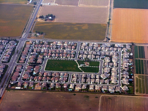
Geographic information system (GIS) models developed at UC Davis are being used to pinpoint the best farmland for conservation in the Central Valley. A new landscape-scale method, described in a recent issue of California Agriculture journal, was applied in Fresno County, and the approach is being extended regionally in the San Joaquin Valley.
“Policy programs and local planning agencies must assess farmland before implementing policies and programs aimed at farmland conservation,” lead author Evan Schmidt wrote in California Agriculture. “The application of GIS to existing land-assessment practices can update and reinvigorate [currently used] techniques.”
The method involves integrating environmental and human factors into a GIS to develop maps of strategic farmlands to be targeted for conservation. These five factors are:
- Soil productivity, based on maps developed by the California Department of Conservation’s Farmland Mapping and Monitoring Program (FMMP).
- Water cost and reliability, based on maps developed by California agricultural commissioner’s offices.
- Microclimate, to identify areas with optimal growing conditions.
- Environmental sensitivity, to incorporate state and federal designations of vernal pools and wetlands.
- Urban growth pressure, to identify areas within and adjacent to existing cities that are expected to be developed in coming years.

With extensive input from the public, agency officials and land-use professionals, the method expands upon farmland assessment frameworks developed by the U.S. Department of Agriculture and FMMP soil classification maps.
The Fresno County GIS-based assessment identified 343,321 acres of “very-high-value” farmland, mostly in the eastern and southern county and located in areas without existing or projected urban development. “High-value” farmland, totaling 491,613 acres, was similarly situated but included more acreage in the western county.
“In Fresno County, we found that the majority of growth to 2050 could fit into existing spheres of influence,” Schmidt and co-authors wrote. “This important information challenges decision-makers to set and maintain policies that encourage compact growth and infill development in order to preserve Fresno County’s highest-value farmland.”